National Ag News
Much cooler air to expand across the Heartland
May 19, 2017, 10:17 AM
by
System
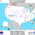
A powerful, slowing-moving storm system crossing the southern Plains will reach the upper Great Lakes region by Sunday. The storm’s trailing cold front will cross the Atlantic Coast States on Monday. The threat of severe thunderstorms will gradually shift eastward and diminish, although locally heavy rain will persist. Five-day rainfall totals could reach 2 to 5 inches from the southern Plains into the Midwest, while totals could reach 1 to 3 inches as far east as the Appalachians.
Continue reading Much cooler air to expand across the Heartland at Brownfield Ag News.


